 |
| Map of St. Lucia (source) |
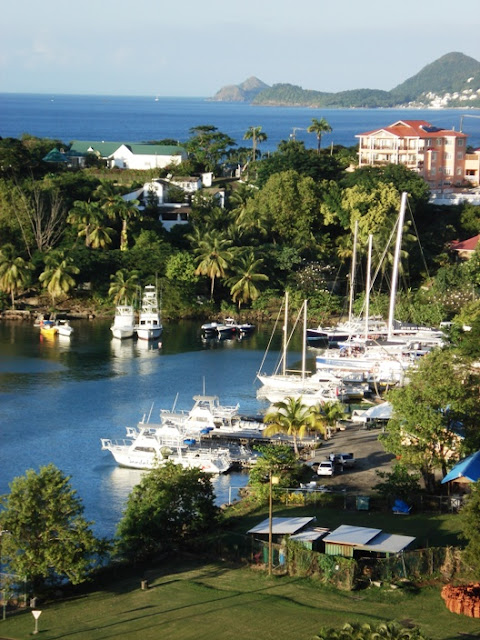
We sailed from there to Pigeon Island National Park (further north, almost to the top tip of the island) on an 85-foot "pirate ship" schooner named "Liana's Ransom". The weather was perfect.
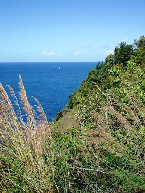
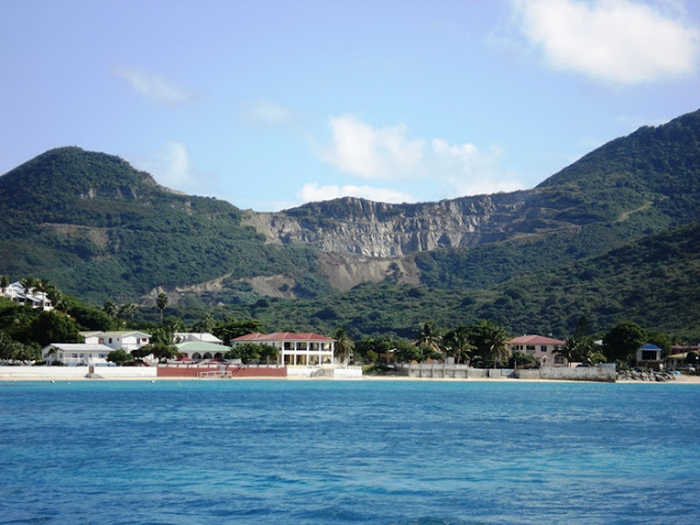
The schooner had a crew of "pirates" who were fun and interactive, and, of course, they were dressed in pirate costumes. Some of the views on the way to Pigeon Island:
Pigeon Island:
Ed, Daniel, and I hiked up the peaks while Cindy and Ed (Sr.) hung out at the beach. Bernadette wasn't feeling well that day, so she unfortunately didn't make the excursion.
Fort Rodney (named after British Admiral George Rodney) was built atop the lower of the two peaks (called Fort Rodney Hill, to the left in the above photo) in 1778. Pigeon Island is about 25 miles from Martinique (which we could see in the distance, but it didn't show up very well in the photos we took), so it was an important British observation and defensive site. Some views from Fort Rodney:

 |
| Overlooking Martinique from Fort Rodney (Martinique is in the distance to the far right) |
 |
| Signal Peak |
 |
| View of the causeway connecting Pigeon Island to the mainland |
 |
| View of Fort Rodney from Signal Peak |
 |
| View of Rodney Bay from Signal Peak |
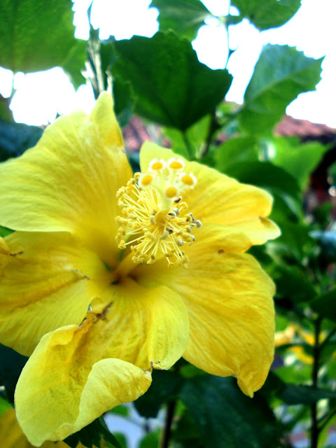
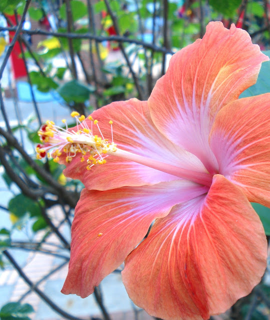
We hiked back down and sailed back to Pointe Seraphine. We had a little extra time to check out the shopping area. Ed got some great shots of local flora there.
We wish we had more time to see more of the island. I especially wanted to see more of the Pitons (on the southwest coast of the island). We'll have to go back some time!
And here's a nice gradient of the sky at sunset as we left port:
 |
| Sunset at St. Lucia |
